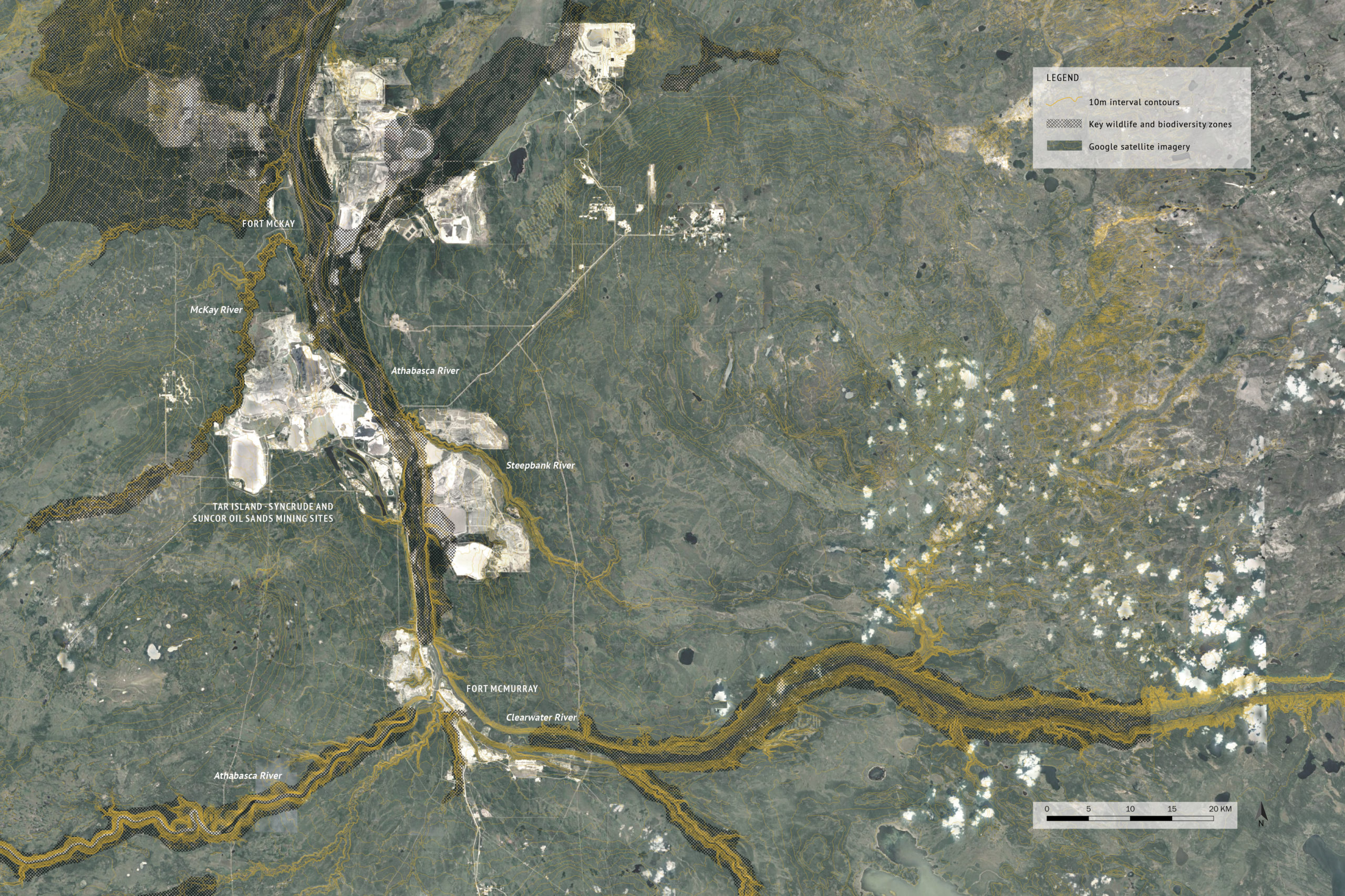
GIS Satellite Map: Athabasca Oil Sands context map 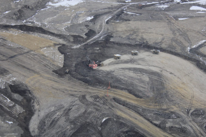 Aerial Photograph: A variety of industrial organisms move and shape the landscape at a Tar Island pit mine.
Landscapes of oil extraction are a world unknown. The Athabasca Oil Sands is an extraction industry with many complexities that require reclamation practices following their closure. Current small-scale reclamation practices do not incorporate a projection of future adaptation for this area. Landscape architecture provides an important viewpoint in the representation of time for areas like
→ Continue reading at World Landscape Architecture
